Tuesday, November 4, 2025
Lifted the anchor at about 6:42 in the Rhode River. It was a beautiful sunrise.
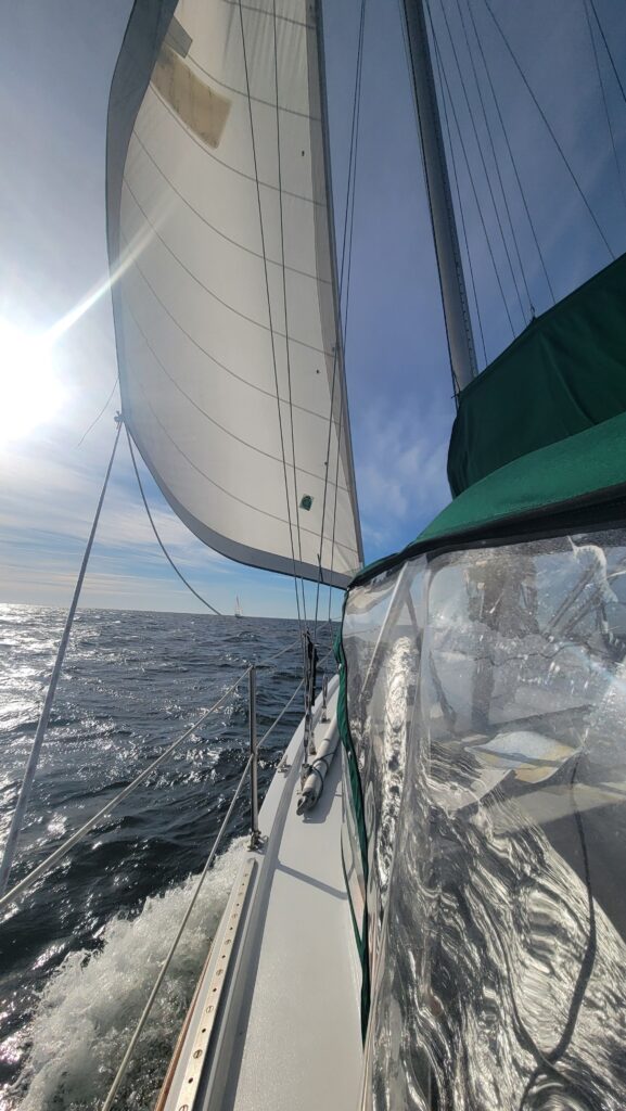
Sails up around 9 am as the wind picked up. We had a beautiful sail all the way to the Patuxent River.
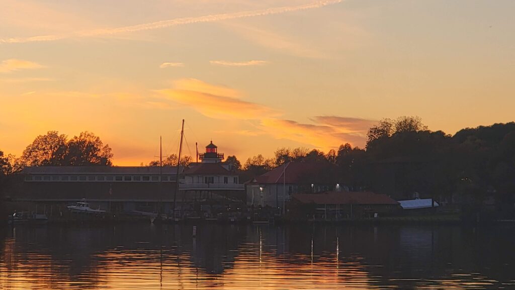
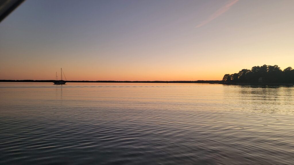
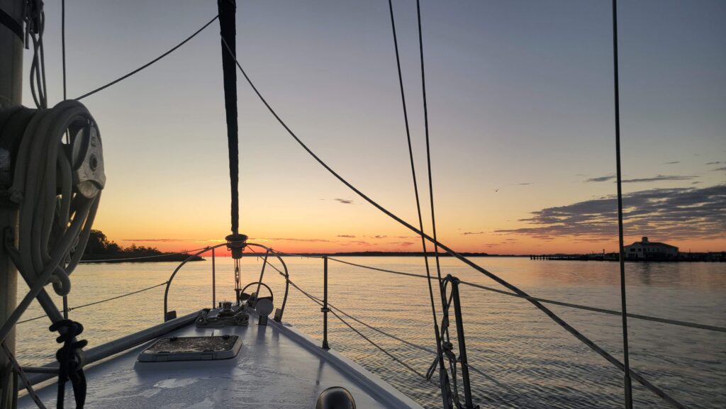
Took the sails down by Drum Point and had the anchor down by Safe Harbor Zahnisers in Solomons Island by 2:00 pm. Beautiful sunset behind the Calvert Marine Museum and the original Drum Point Lighthouse (now an interesting exhibit at the museum).
Wednesday November 5, 2025
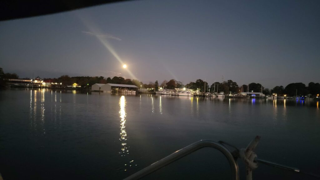
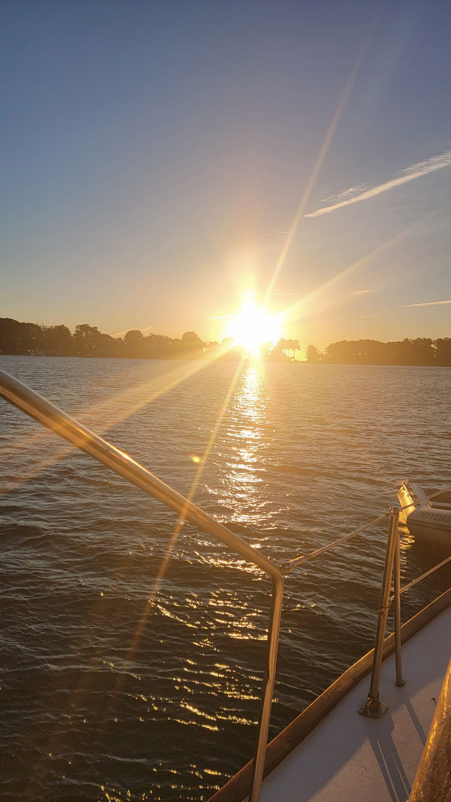
We have long way to go today. We are planning on Fishing Bay in Deltaville, VA, so we are up and out early. The moonset and sunrise were beautiful as we hauled anchor and headed out of Solomons Island into the Patuxent River. As we got to the mouth of the river, we put up the sails. The wind was blowing about 12 to 15 knots (great for Meridian), gusting to about 20 at times.
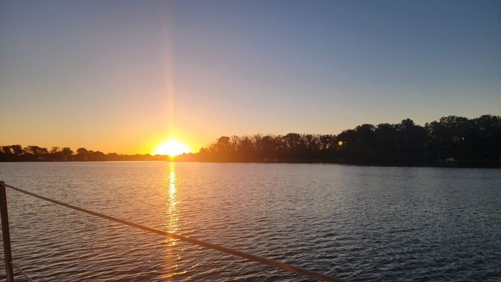
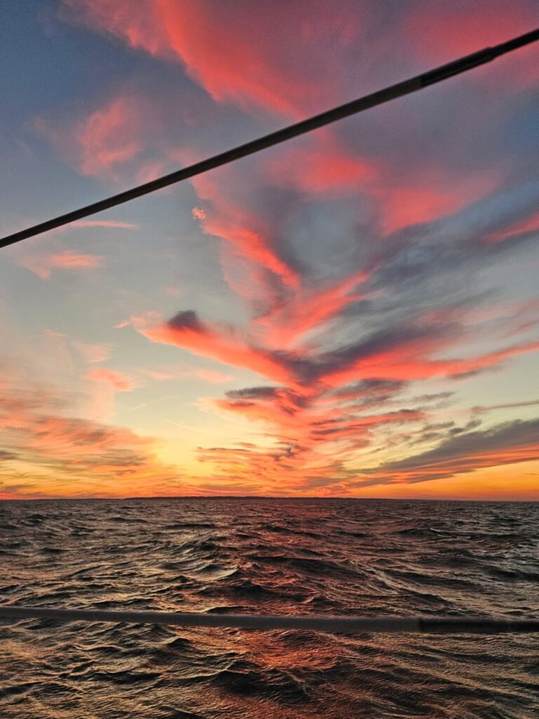
This is where it started to get interesting. Over the course of the next hour or so, the winds built to 20 knots or so, gusting 25 directly on our nose and the seas built as well. Sails came down (very thankful for the new lazy jacks and sail pack sail cover), engine on and we continued down the bay in 20-25 knot winds. We saw gusts to 30 at times and waves about 2-3 ft. It was very rough as we slogged our way down the bay making only 3 to 4 knots. The cable holding the dinghy on the davits broke at some point and we ended up towing it behind us which slowed us down even more. At this point our only choice really was to continue to Fishing Bay. With the winds and waves our progress was slow, we saw sunset underway and entered the Piankatank River after dark. Fortunately, we have good GPS and radar (or so we thought).
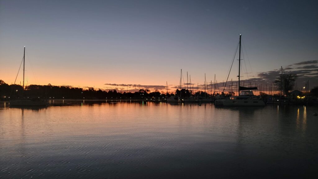
The radar seemed off, not showing the land mass, buoys and other vessels overlayed on the chart properly on our chart plotter. We navigated our way into the Piankatank and up to Fishing Bay without benefit of the radar showing us the location of other boats and marks in the area. Thankfully we do know how to navigate without electronics thanks to all the USPS (United States Power Squadron) classes we have taken over the years. We set the anchor at 7pm.
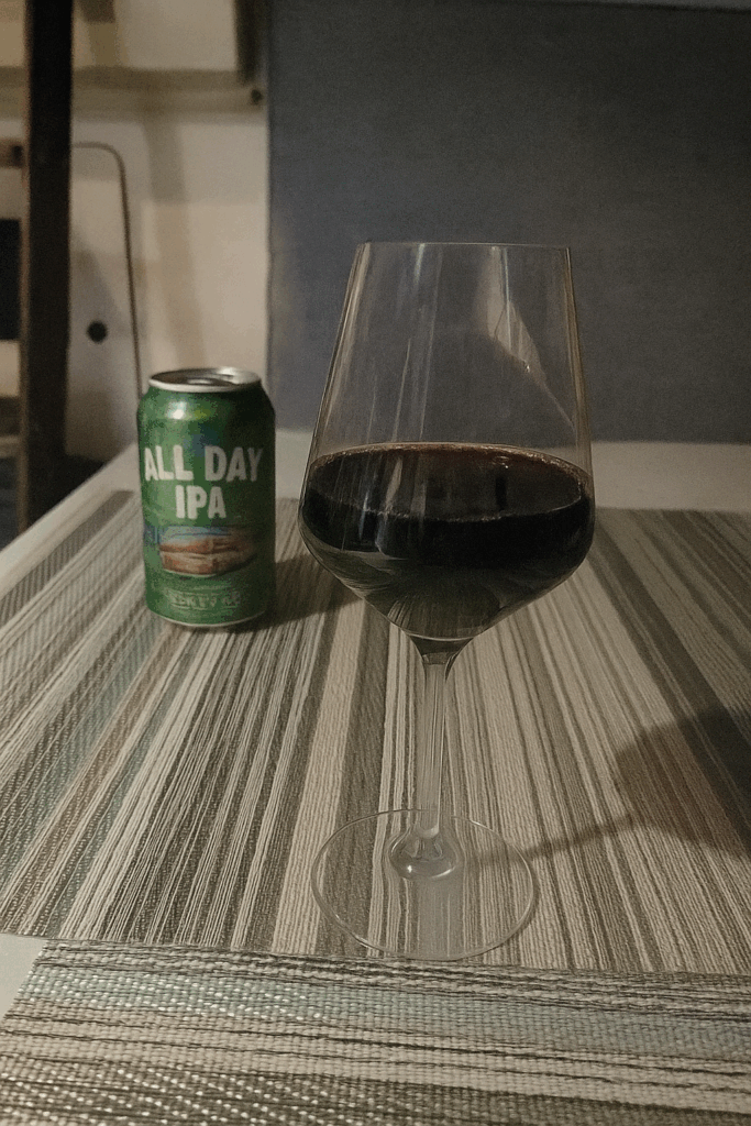
A glass of wine for me and a beer for Tom seemed appropriate at this point!
Thursday November 6, 2025
We decided to stay here for the day to investigate the issue with the radar and fix the dinghy cables.
What we discovered in doing some reading and talking to Garmin (who are very accessible and helpful with their phone support) is that we need to install a ‘heading sensor’ as the radar is using the motion of the boat to set the heading and that can be thrown off in rough seas as the boat is pitching and rolling (which is what happened). We never intend to be navigating in the dark, but as happened yesterday, we don’t always have the choice. So, Tom made a few calls and ended up calling BOE Marine on Kent Island. They had the heading sensor we needed in their warehouse, and they were able to over-night it to us. It will be at the marina by where we are anchored early afternoon tomorrow.
So, one more day here in Fishing Bay.